

QGIS Desktop
Read our comprehensive review of QGIS Desktop, the leading open-source GIS software for advanced geospatial data analysis, mapping, and vector processing.
Unlocking Spatial Analysis with QGIS Desktop GIS Software
QGIS Desktop GIS software has long stood as the gold standard for geospatial professionals, academic researchers, and cartographers who require robust, enterprise-grade mapping tools without proprietary constraints. As an official project of the Open Source Geospatial Foundation (OSGeo), this powerful application provides an incredibly versatile environment for visualizing, managing, editing, and analyzing spatial data across various industries.
What Can You Actually Do with QGIS Desktop?
Unlike basic map viewers, QGIS Desktop GIS software is a fully featured powerhouse designed for complex spatial workflows. Whether you are a city planner, an environmental scientist, or a data journalist, the platform enables you to execute sophisticated geospatial tasks directly from your Linux workstation:
- Advanced Vector and Raster Integration: Seamlessly overlay, render, and manipulate diverse file formats and database structures without tedious conversion processes.
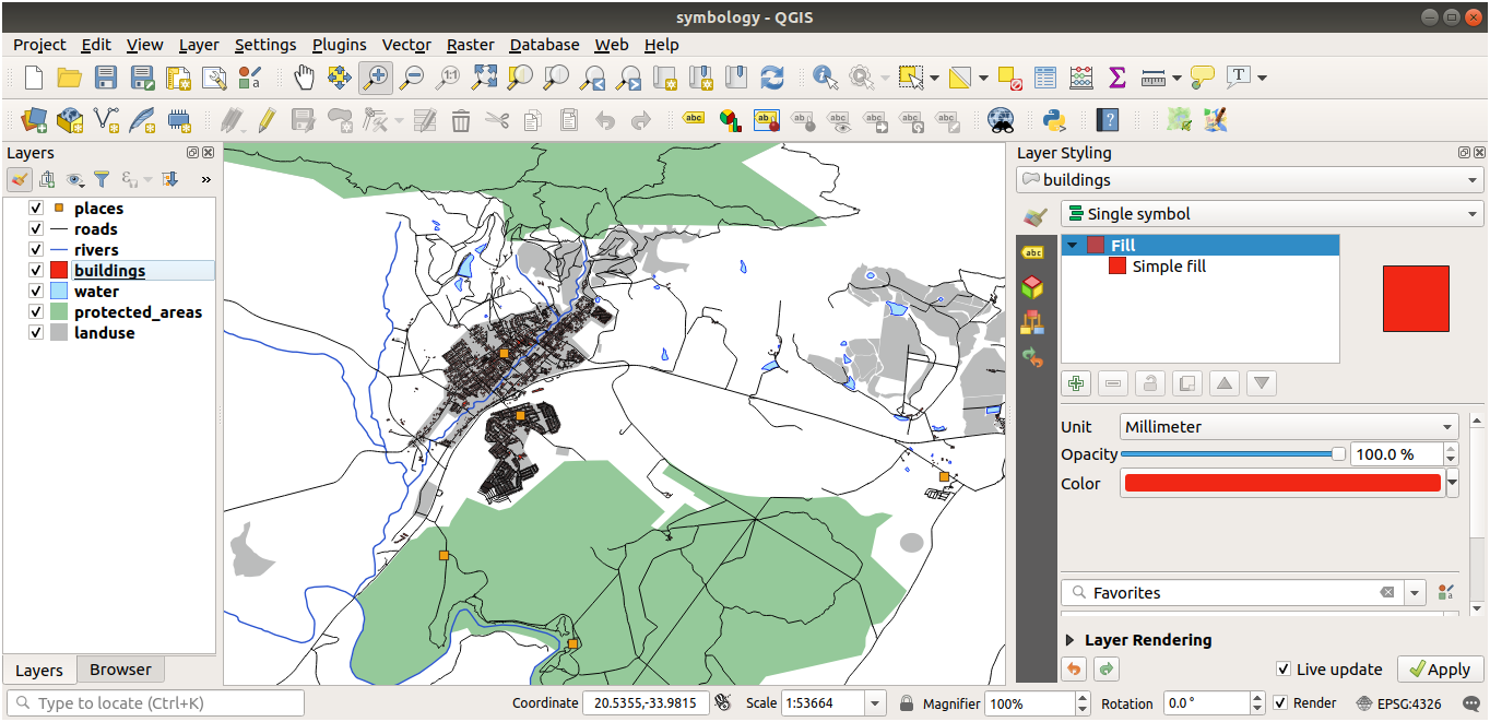
- Professional Cartography: Design highly detailed, production-ready maps using advanced symbology, labeling engines, and print layouts.
- Geoprocessing and Spatial Analysis: Run complex spatial queries, generate heatmaps, calculate buffer zones, and analyze terrain patterns using a massive library of built-in processing algorithms.
- Extensible Plugin Ecosystem: Tailor the interface and capabilities to your specific industry needs by integrating hundreds of community-developed plugins.
Who Is This Geospatial Tool For?
Developed by the dedicated QGIS Development Team, this software is ideal for professionals and educators categorized under educational and scientific disciplines. Because it runs natively on Linux, it is highly favored by system administrators, developers, and data analysts who demand high performance and seamless integration with command-line tools and database systems like PostGIS.
A Reliable, Community-Driven GIS Powerhouse
Because the platform operates under the GNU General Public License, users benefit from a transparent, highly secure, and continuously updated ecosystem. The collaborative effort of the QGIS Development Team ensures that the application remains compatible with modern spatial data standards, making it an indispensable asset for any serious geospatial toolkit.
If you are ready to elevate your spatial analysis capabilities, you can explore the application further and find installation options directly on the official Flathub store page.